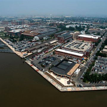
Washington Navy Yard, Washington, DC
A|I|DATA conducted utility records research, field investigation, underground utility locating and marking, surveying and mapping services to develop an up to date depiction of all underground utility systems at this historic installation. As part of an effort to update facilities management activities at the oldest military installation in the U.S., the mapping was delivered in both AutoCAD and geodatabase GIS formats. Utility management, project planning and dig permit reviews were all enhanced through this comprehensive investigation and mapping project.
Project challenges included limited utility record information and the age of the facility. Through its history, this site has been used for shipbuilding, manufacturing, ordnance and weapons development and production. In 1964, the process of converting manufacturing buildings to office spaces began. With each change of use, the Quarterdeck of the Navy required improvements or adjustments to the utility systems. Multiple layers of active and abandoned utilities were encountered and investigated as part of the project work. A|I|DATA was able to evaluate this complex environment and then develop a reliable depiction of subsurface conditions.
The modernized mapping of the active utility systems enables an improved process for assessing excavation activities in proximity to existing utilities as well as providing a reference framework for utility management activities. Planning for future redevelopment at the site is facilitated through access to reliable utility mapping records.