About
At Accurate Infrastructure Data, Inc. (A|I|DATA), we build confidence – facilitating team member development, enabling client design and management, and supporting the public’s health, safety, and welfare.
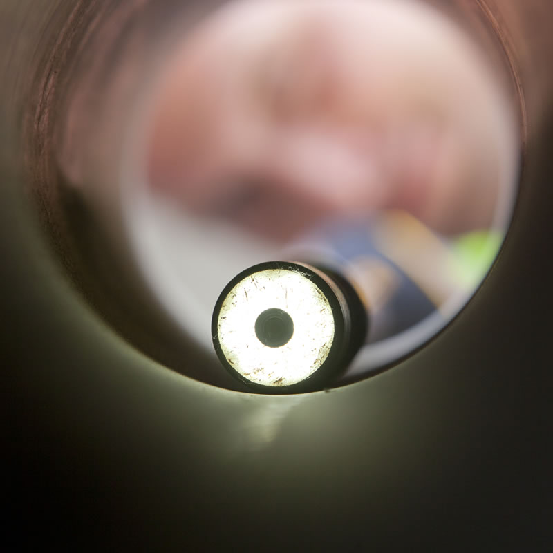
A|I|DATA is a professional service firm and woman-owned, small business established in January 2005 to provide underground utility investigation, subsurface utility engineering, land surveying, and mapping services to engineers, surveyors, developers, facility managers, and construction industry professionals. Services include subsurface utility infrastructure and property records research, investigation, field marking, field data collection, and depiction or mapping. A|I|DATA employs electro-magnetic (EM) based instruments and ground penetrating radar (GPR) to detect underground utilities. Air-vacuum excavation methods are used to safely expose subsurface utilities so that they can be measured and documented. The latest survey instruments are used for field data collection.
The services offered by A|I|DATA are modeled on the relevant standards of practice including ASCE/UESI/CI 38-22, Standard Guideline for Investigating and Documenting Existing Utilities (ASCE 38-22).