Montgomery College
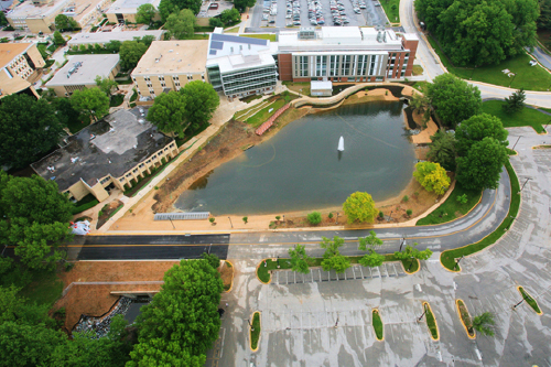
The Rockville, MD campus of Montgomery College consists of approximately 85 acres of developed land. This campus opened in 1965 and as of August 2012 included approximately 21 buildings, as well as athletic fields and parking lots. Buildings and other development activities have been continuing, and as each project has been completed the site and building plans have been retained as paper drawings and in more recent times in digital formats.
While efforts have been made to identify the most current representations of the underground utilities, the College became aware of numerous shortcomings in their record keeping. In June 2011, A|I|DATA began work as a team member with Greenhorne & O’Mara, Inc. (now Stantec) to investigate, document, survey and map all of the dry (gravity independent) underground utilities on the campus. In February 2012 mapping was delivered to the client for their approval. More than 136,000 linear feet of water, gas, electric, communication and chilled water lines were located and then mapped in AutoCAD format as part of this project work. In addition, the College is exploring the development of a campus-wide Geographic Information System (GIS) and the utility mapping project would be used to populate the GIS utility data layers. The up to date mapping of campus utilities in both formats will support campus planning, facilities management and damage prevention activities.